
Last updated: 8/21/2026
Mayor Mantello Announces Final Design for Congress and Ferry Corridor Improvement Project
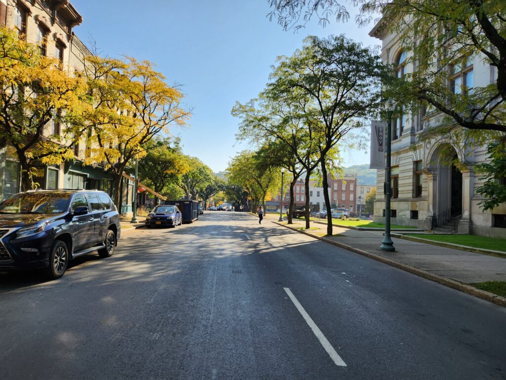
On September 9, 2026, Mayor Carmella R. Mantello announced the completion of the Design Approval phase for the NY 2 (Congress and Ferry Streets) Corridor Improvements Project, marking a major milestone in the City’s efforts to improve this important gateway into downtown Troy and strengthen connections between downtown and South Troy.
Following a comprehensive technical evaluation of project alternatives, as well as public feedback received throughout the planning and study process, the City has selected Alternative 1A – One-Way Buffered Bicycle Lanes as the preferred alternative for the corridor.
The project represents a comprehensive investment in the Congress and Ferry Street corridor. In addition to the new one-way buffered bicycle lanes, the plan includes milling and paving, ADA sidewalk reconstruction, new trees and streetscape improvements, as well as the construction of a signalized intersection at the base of the Congress Street Bridge connecting Downtown Troy to South Troy via River Street.
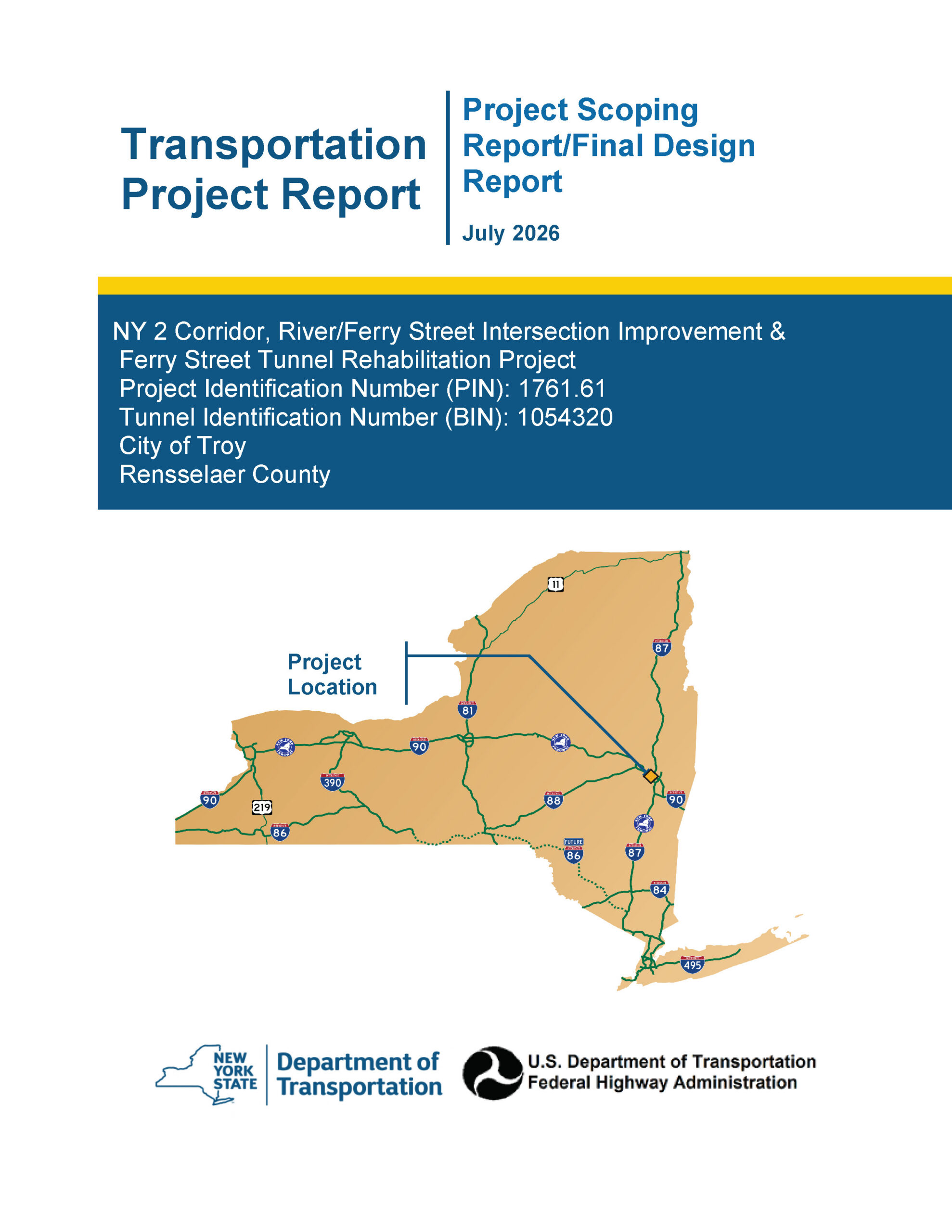
The Final Design Report is now available to the public and provides a comprehensive overview of the project’s development, the alternatives that were considered and evaluated, the environmental review process, public input received, and the preferred alternative selected by the City.
“Congress and Ferry Streets are a critical gateway into our downtown and an important connection to South Troy, and this project gives us an opportunity to make significant improvements throughout the corridor,” said Mayor Carmella R. Mantello. “From new and improved sidewalks and paving to bicycle infrastructure, trees and a new intersection at the Congress Street Bridge, this plan takes a comprehensive approach to improving safety, accessibility, biking, mobility and the overall appearance of this important part of our city. We listened to the residents, businesses and stakeholders who participated in this process, and their input helped shape the final design.”
With the Design Approval phase now complete, the project will advance into final design. During this next phase, detailed engineering plans will be prepared, developed and refined in anticipation of future construction.
The City recognizes and appreciates the participation of residents, businesses, property owners and other community stakeholders who provided feedback throughout the planning and design process. Their input helped inform the project’s final recommendations and shape the future of this important gateway and connection within Troy.
Project Location
The project is located in the City of Troy, beginning at the eastern end of the Congress Street Bridge and extending along NY Route 2 to 11th Street. This corridor functions as a paired one‑way system: westbound traffic uses Congress Street, while eastbound traffic follows Ferry Street. Both streets currently operate with two travel lanes and adjacent on‑street parking.
In addition to the Route 2 corridor, the project includes improvements along a section of River Street between State Street and Liberty Street. Within this area, River Street operates as a one‑way southbound roadway from State Street to Division Street, transitioning to a two‑way roadway south of Division Street.
Project Need
NY Route 2 serves as the primary east–west connection through Troy’s downtown core, linking the City of Watervliet with communities east of the Hudson River. Today, the corridor is heavily oriented toward through traffic, creating an imbalance between vehicular mobility and the needs of pedestrians, bicyclists, and transit users.
Sidewalk conditions vary widely throughout the project area, with numerous locations that do not meet ADA requirements due to damage from aging tree roots and outdated curb ramps. These deficiencies limit accessibility, pose safety concerns, and result in inconsistent pedestrian experiences along both Congress and Ferry Streets. At the same time, existing street trees are in generally poor health, contributing to sidewalk deterioration and creating potential long term maintenance and safety issues.
Bicyclists currently have no designated facilities and must share travel lanes with buses, trucks, delivery vehicles, and general traffic. This mix of users, combined with high traffic volumes, creates challenging and often unsafe conditions for those traveling by bicycle.
The configuration of the Congress Street Bridge interchange further complicates circulation within downtown Troy. The current design tends to misdirect northbound River Street traffic onto Front Street, limiting intuitive access to the city center and offering minimal pedestrian or bicycle accommodations at this critical gateway. Reconfiguring this interchange into a standard four way intersection would restore direct connectivity, improve safety, and better support surrounding redevelopment opportunities.
Final Design Repot
Project Map
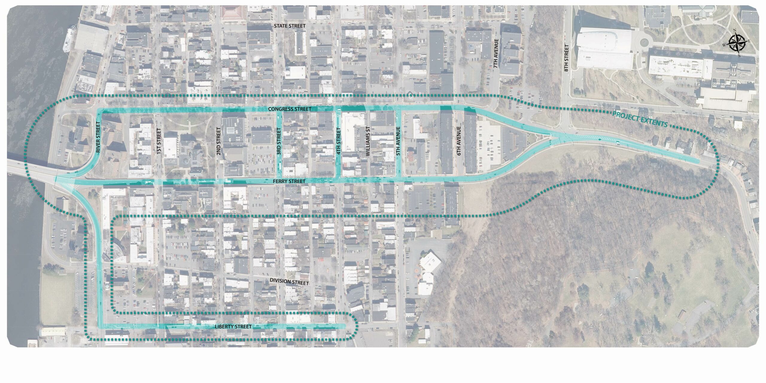
Click to expand
Vision for the Project
Project Purpose
The purpose of this project is to improve mobility and accessibility throughout downtown Troy by creating safer and more functional conditions for all travelers. This will be achieved through the installation of ADA-compliant pedestrian facilities and dedicated bicycle accommodation that offers predictable and comfortable spaces for non-motorized users.
A major component of the project is the construction of a new four-way intersection at the Congress Street Bridge and River Street. This redesigned gateway will restore direct connections to the downtown street network, support nearby redevelopment opportunities, and provide a clearer and more inviting entrance into the city.
Overall, the project will shift these corridors from primarily traffic-oriented routes to streets that support the character and accessibility of the surrounding urban environment. By creating a multimodal network where pedestrians, cyclists, transit users, and motorists each have defined space, the project will better serve residents, businesses, and visitors throughout Troy
Project Objectives
- Improve overall traffic conditions using cost effective methods that provide an acceptable level of service for all roadway users.
- Restore pavement to good condition through appropriate and cost effective pavement treatments.
Get Involved
The Design Approval phase is complete and the Final Design Report is now available. Project updates will continue to be posted to this website as the project advances into final design.
Photo Simulations
Explore the photo simulations of the project alternatives considered for this project.
Click each image to view a large version.


Project Alternative Concepts
The project evaluated three alternatives during development of the Design Report. Following technical evaluation and consideration of public feedback, Alternative 1A – One-Way Buffered Bicycle Lanes was selected as the preferred alternative. The concepts below illustrate the alternatives evaluated as part of the project development process. Please refer to the Final Design Report for additional information.
Click each image to view a large version.


Common Design Elements in all Alternatives
During concept development for this project, the consultant team developed and evaluated three alternatives. The primary differences between them relate to how bicycle infrastructure is provided and how that affects the design of NY Route 2 along Congress Street and Ferry Street.
All alternatives include the following common design elements:
- The intersection of River Street and the Congress Street Bridge would be rebuilt as a new four way intersection.
- The southbound, one way portion of 5th Avenue between Congress Street and Ferry Street would be changed to a two way road.
- Portions of sidewalk and curb ramps that do not meet ADA and PROWAG standards would be replaced.
- Green conflict markings would be added where proposed bicycle facilities continue through intersections.
During project development, three alternatives were evaluated. Following technical evaluation and consideration of public feedback, Alternative 1A – One-Way Buffered Bicycle Lanes was selected as the preferred alternative. Key elements of each alternative are summarized below.:
1A – One-Way Buffered Bicycle Lanes on Congress St and Ferry St
Preferred Alternative (Selected)
- Congress St – Single travel lane with parking along south side
- Ferry St – Single travel lane between 2nd St and 5th Ave with parking along north side
- One-way buffered bicycle lanes from Front St to 6th Ave.
- Ferry St tunnel – Elevated concrete median and bicycle lane to separate bicycle lane and travel lane
1B – Two-Way Buffered Bicycle Lanes on Congress St.
- Congress St – Single travel lane with 10-foot-wide, two-way buffered bicycle lane from Front St to 6th Ave. Parking along north side.
- Ferry St – Single travel lane with parking on both sides
1C – Road Diet on Congress St and Ferry St with Counter-Flow Bicycle Lane and a Shared Lane on Liberty St
- Congress St – Single travel lane with parking on both sides
- Ferry St – Single travel lane between 2nd St and 5th Ave with parking on both sides
- Liberty St – Contra flow bicycle lane (westbound) and shared lane markings (eastbound)
Documents
Download the following documents to learn more about this project.
Events
Past Meetings
Public Informational Meeting
July 30, 2024: 6:00 pm - 7:30 pm
Russel Sage College’s Bush Memorial Center
50 1st Street,
Troy, NY 12180
[Google Maps]
Public Meeting #2
October 9, 2024: 6:00 pm - 7:30 pm
Italian Community Center
1450 5th Ave, Troy, NY 12180
[Google Maps]
Download the flyer